 On a distant snag.
 Surveying the water below.
 A stretch...
 another pose..
Also, nearby was an Acadian Flycatcher, found recently by Bart Kamp and company.
On a distant snag. Surveying the water below. A stretch... another pose.. Looking toward Mt. Washington and into Huntington Ravine from the Boott Spur Trail.
  A peek across into the Wildcat/Carter Range.
  Wildcat/Carter Range from a higher vantage point.
 You should be able figure this one out.
 Looking across the Gulf of Slides to the Glen Boulder.
  Tuckerman Ravine and Mt. Washington, a little snow still in the ravine (white spot to the left), the white spot high on the far wall (right) is large piece of Quartz.
  A framed shot of the Washington summit from the Boott Spur Trail.
  Mt. Washington, Tuckerman Ravine and the upper north wall of Huntington Ravine (to back right), from the Boott Spur.
  as above but a winder angle.
 Davis Path trail and carins sound bound to Mt. Isolation .
  Looking north Mt. Monroe, the bump on the right, Mt. Washington blanketed by the cloud, Boott Spur to the right.
  Another Washington shot.
  Looking south on the return trip from the Davis Path.
 The Glen Bounder Trail/Davis Path Junction, looking to Slide Peak.
  Another fine view of the Wildcat/Carter Range, rte 16 snakes below..
 Looking into Gulf of Slides, perhaps an avalanche knocked these trees over on valley floor.
 Glen Boulder can be seen from Rte 16, below note the person (in White) sitting to the right of it.
 A closer view, the hiking sticks are for "scale" and were not holding the rock in place.
 One more distant shot.
  A rough sketch of our route, annotated (red line) via google earth clicking on the picture will provide a more detailed look.
The first 1.3 miles were easy going on a smooth trail, with the exception of crossing the Israel River, which went smoothly for us as the water was not too high.
 Further into the hike trail became rough, and with recent rainy weather there were many slippery roots and moss covered rocks to contend with. Which always presents a greater issue on the decent...
 Steeper climbing after passing the intersection with the Link Trail.
 Just over 3 miles in we encountered our first scramble, to the sides we had a few hand and foot holds and made the accent without incident.
 Once clearing the above scramble we reached a nice vista.
 Not having hiked this trail before, I thought we'd "topped" the first "castle" but that was not the case... as Robert Plant once sang "scrambled on".
 The first Castle from just above the first scramble, and the rim of Castle Ravine to the left.
 The view south west toward the Pemi Wilderness, I heard a Bicknell's Thrush call from this area. The scenery was even more impressive once atop the castles, with views toward the Pemi Wilderness and Mt. Waumbek and the Pilot Range.
 Karin making good progress above tree line, The Castles, large rock outcrops are below along the ridge stand some 20 feet high. The trail tavels right over them in a few spots, making for a dramtic hike.
 A close up of a "castle".
 The view back down the "Castellated Ridge" as its known, with the Pilot Range including Mt. Waumbek and Star King on the horizon.
 Alpine Azalea above tree line.
 Still a long rocky trek to the summit at 5712'
 View north to Mt. Adams as another hiker works his way through the rock pile.
 Mt. Washington, the Great Gulf , Mt. Clay (front and center), Mt Monroe (right Horizon), the Lake of the Clouds AMC hut is between Washington and Monroe.
  Working our way back.
 Approaching the ridge.
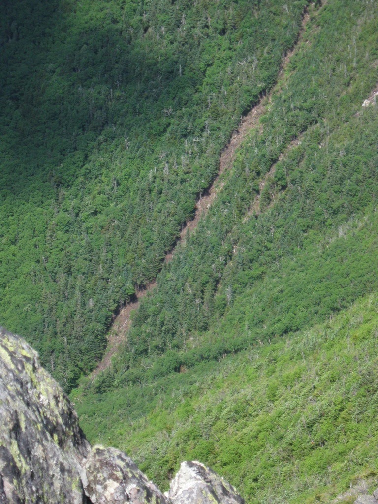 Looking deep into the Castle Ravine a new slide could be seen, from an apparent avalanche a few Winters ago.
 Yet another photo of the ridge, Bowman Mountain is the flat topped hill well below and the Pilot Range on the Horizon.
 We found this Moose Jaw at 4200 feet elevation.
 The view from the trail head in Bowman, it was very special to end the hike being able to
 A few deer passed close by.
 Tired feet, enjoying some "Grape Soda", Crosby, Stills and Nash and view up the Castllated Ridge to Mt. Jefferson.
 We'd seen the above truck in Tamworth on the trip north, and snapped this shot on the way back, this struck us as being obscenely funny.........even more hilarious was finding this while "gassing up" on rte 1 in Saugus, Ma.
  We found this "guy", about 10' tall in Saugus, Ma. , would appear to be worth perhaps 500 bucks?